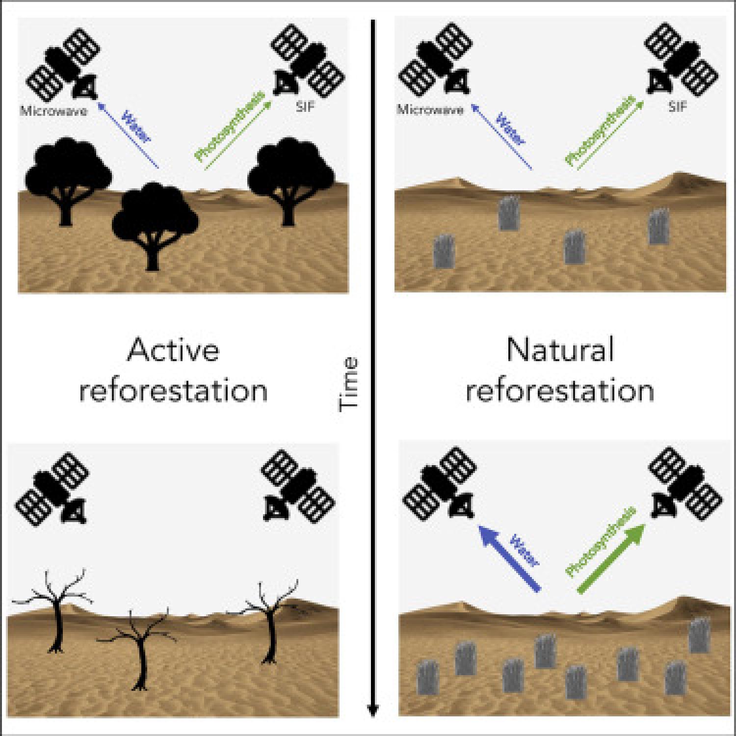
Desertification in Northern China degrades air quality in China's eastern cities by causing frequent dust storms. To stop desert expansion, China's government initiated the Three-North Shelterbelt Program, a large-scale reforestation project. Many issues with the project have been raised, from the choice of ill-adapted species to planting methods. Recently, the government implemented “natural reforestation”—closing former pastures to let vegetation regrow naturally. Unfortunately, it has been difficult to estimate the large-scale success of natural reforestation because measuring arid ecosystem productivity is a challenge for optical remote sensing. Here, we use satellite data to monitor vegetation water content and photosynthetic activity, thereby quantifying changes in vegetation biomass and productivity in Northern China. These satellite data corroborate official reforestation data. Our results show that vegetation activity is strongly correlated with both natural and traditional active reforestation, indicating opportunities for new natural reforestation techniques combined with satellite monitoring in other semi-arid regions.
